Kong Knaps Dige
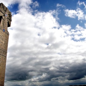
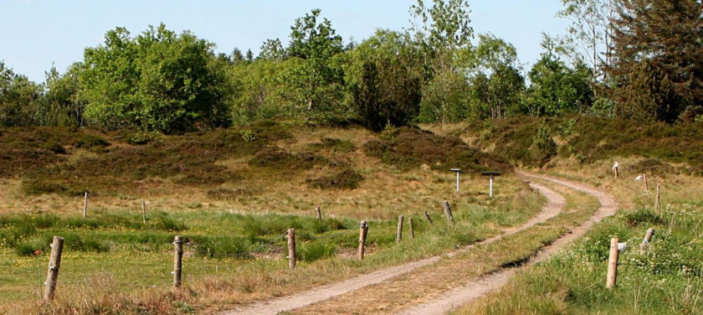
Kong Knaps Dige (King Knap’s dike) is an ancient rampart dating back to the Iron Age. Today, the dike is about 200 metres long, up to 6.5 metre wide a...
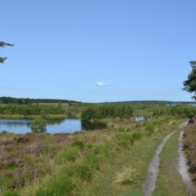
På turen fra plantagerne vest for Thorning til Tollund, vest for Funder Kirkeby, går du blandt andet på Grathe Hede, hvor berømte kongeslag har fundet sted samt ved den smukke Bølling sø.
Her er et kort du kan downloade til din mobiltlf. med etapen Thorning – Funder Kirkeby på 23,4 km, samt et link til en detaljeret beskrivelse af turen. Længere nede på siden præsenterer vi dig for et udvalg af oplevelser, som du kan se på ruten, hvis du får lyst.
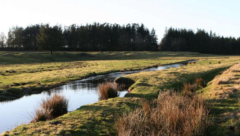
Photo:Kate Nielsen
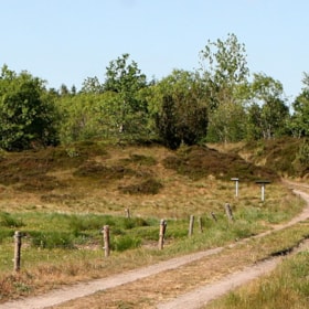
Sværhedsgrad: Moderat. Bakket terræn.
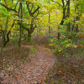
Underlag: asfalterede småveje gennem åbent land, Trampestier og grusveje i skove
Natur: En afvekslende etape med åbent land, plantager, heder, mange fortidsminder og ikke mindst Bølling Sø.
Stilhed på ruten: omkring 12 km gennem plantagerne
Overnatning: Find dine muligheder på det digitale kort