Hiking Stage Jyske Aas-Hammer Bakker (30 km)
Hiking Route through the Jutlandic Ridge to Hammer Bakker (Brønderslev Kommune) Go lengthwise through this partly wooded, hilly highland with varied scenery. To the north east is the wide valley, Voerådal, and to the south is the big lowland that enfolds Nørresundby.
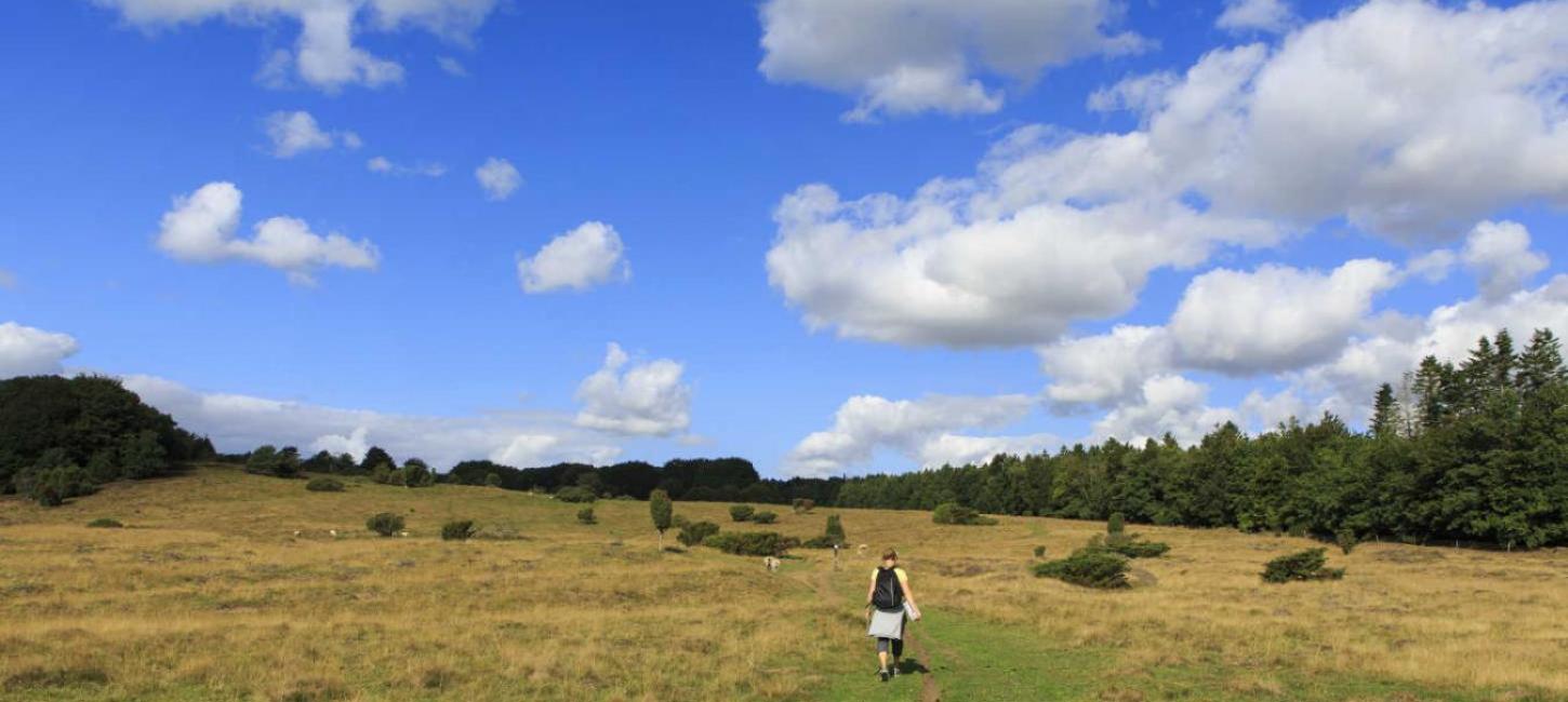
Jyske Ås
On the top of Fejborg Hill at the thoroughfare you find info about the area and a long barrow to the north with a fantastic view toward the east. The entire area on both sides of the ridge have an unusual number of burial mounds.
After a short trip by gravel road, the trail enters the beautiful and hilly area with sporadic grassy areas and forest. From the point 57o16’22’’N 10o12’39’’Ø you can see 23 kilometers north east to Cloos Tower. The highest point in this area is Brøndbak with its 107 meters and a geodetic postament. Cross Brøndbakvej and go through the area of the bird Red Kite to the shelter camp Slettingen. From the hill top you see a hollow where Ryå Brook starts, the longest and biggest brook In Vendsyssel, and it irrigates 600 km2. To the south you can dimly see Aalborg Industry.
Grevsmose Lakes
In the old days, the barren slopes of the ridge were the haunts of social rejects who would dwell in caves dug into the slopes. The moraine hills contain clay which preserves the moisture of the ground, and a bog was formed. This was utilized for peat digging, and this is how the Grevsmose Lakes were made. The glaciers brought gravel and pebbles with them. In this manner, porphyry found in these hills originally came with the glaciers from Norway.
To get to the point 57o16’8’’N – 10o12’Ø at the top of Lyngbakken, you pass a gate which you are kindly requested to close when you have passed (so the good-natured Iceland horses stay in the enclosure). On a clear day you can see Børglum Kloster, and if the sun shines on the yellow sands, you can also see Rugbjerg Knude at the North Sea, 32 kilometers away. There is a great amount of deer in this area.
A small spring starting at the edge of the ridge (from where the inhabitants got their drinking water until shortly before 2010), waters the ditch where Fældenvej enters Allerup. The water runs under the road.
The trail continues along an old, charming wheel track called Røgelhedegaarde.
At the south-west end of the hollow which Larsgårdsvej crosses is St. Nikolaus’ Holy Spring which still remains moist.
On the other side of Kvindbjergvej a dirt road leads to a series of eight burial mounds from the Bronse Age.
Klokkerholm Møllesø is now the biggest lake in Vendsyssel. Up till 1915, the water kept a watermill running. From here the waters converge with the water from the brook in the hollow under Slettingen to Ryå.
Hellevad and St. Nicolaus holy spring
In the village of Klokkerholm, the church carries the old name of the parish, Hellevad. The church was built in the 1100s in honour of St. Nicolaus whose holy spring this route passed earlier on. By the church you find the big shop in town.
Ørum
Ørum Church dates from around 1250. Lars Dyrskjøt, who donated altar silver to the church, is buried here. Ørum was where the great Danish feta-cheese export started in the 1970s.
The road Digemarken leads to the Oasis: a camp site with shelters, lunch house etc., and of course bathrooms.
From Ørum the route continues to the old manor of Nr. Ravnstrup with the jagged gables, and on to the intersection at Tylstrupvejen. From here, there is about 2,5 kilometers to Hjallerup where there is an inn, public baths and many shops. In the first weekend of June, Hjallerup Market is the biggest horse fair in the country.
Now the trail continues to Ørum Bog, a hollow, formerlys ea bottom in the Ice Age, from where the waters flow to both sides (Gerå in the east to Kattegat and Lindholm Å to the west around Lindholm Hills Viking settlement and on to Limfjorden).
The road continues at the edge of the bog over Kjellingbro and Møgelkær Bridge to the village of Grindsted.