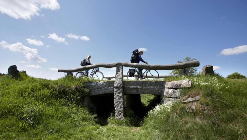
The Ancient Road 'Hærvejen' app
The The Ancient Road has its own app with which it will be easy to find your way out there.
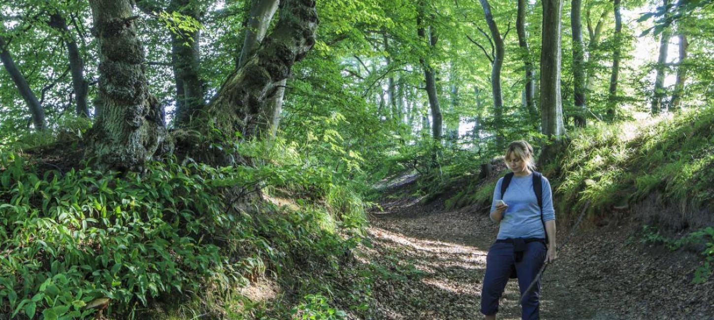
The Ancient Road app
You can use the The Ancient Road app to find your way as well as to plan your trip. Your position is always marked with a little blue dot. At the same time, you can find information about accommodation, restaurants, shops and attractions along your route. You can download the app from the App-Store or Google Play.
The ancient road 'Hærvejen' hiking and cycling route as GPX files
Here we have gathered our routes as GPX files. However, it is IMPORTANT that you note that our system unfortunately does not allow us to upload GPX files to our website.
We have therefore renamed all files to .txt. To be able to use them, you must rename them to .gpx again after downloading.
We apologize for the inconvenience and wish you a good trip on Hærvejen.
(Data was last updated on 03.05.21)
Nordøstjylland
Her finder du cykeletaperne fra Frederikshavn til Viborg (i alt 202 km)
Midtjylland
Her finder du cykeletaperne fra Viborg til Kollemorten (i alt 82 km)
Sydjylland