Hiking Stage Viborg - Thorning (28 km)
On the stage between the old Middle Ages town centre, with the cathedral to the area west of the Thorning, you will pass the unique countryside of Hald and the hills of Dollerup Bakker.
Viborg
The walking route begins at Viborg Cathedral, from where you walk through town centre to the railway station and out towards Viborg Plantation. While in Viborg, you can visit the cathedral, the Dominican church, museums or take some time in Viborg Pilgrims centre. Look into the tourist information office and get the latest on what’s on in town.
Finderup Høj
Leaving Viborg, you will find Finderup Høj at Erik Glippingsvej. From the top of the hill, the king’s knights were able to see the building of Finderup Lade ablaze, when King Erik Glipping was murdered on the night of St. Cecily in 1286. Go further along the overgrown rutted way, which has probably remained unchanged since that time.
Unlike the bicycle route, the walking route does not pass by the Hærvejs Carpet, nor the road stone.
Langskov
In Langskov oak woodland, with its many gnarled trees, there are a number of rutted tracks. The walking route goes directly through the woods to the campsite in Lille Traneskov, after which it continues to the inn, Niels Bugges Kro.
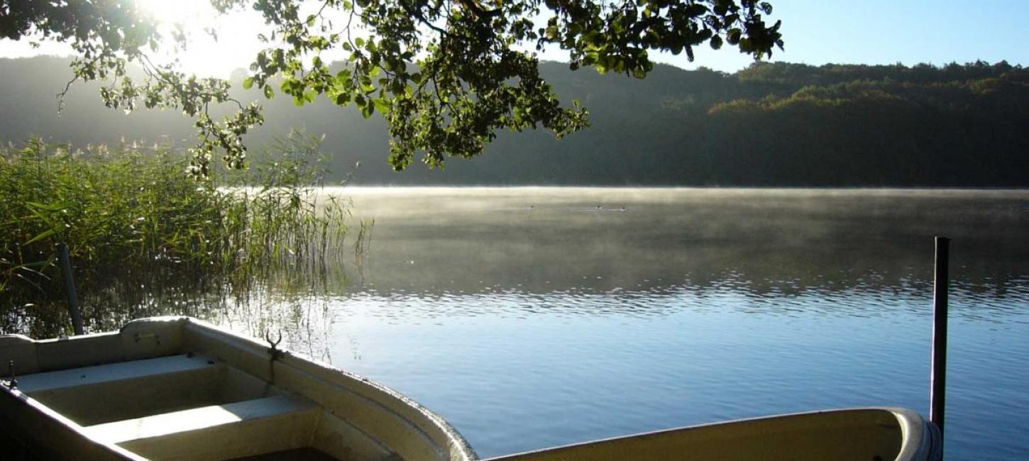
Hald
Hald and Dollerup Bakker are regions with a unique concentration of culture and natural history. Hald Hovedgård manor is built on the ruins of four previous manors, Niels Bugges Hald is a circle shaped moat by Niels Bugges inn, and on a peninsular in the lake, there are the remains of an old castle, built by the last Catholic bishop of Viborg, Jørgen Friis.
Dollerup Bakker
The landscape is dramatic, created by the ice mass and melting water during the last ice age, with Dollerup hills in the east, and the flat heath land in the west. The region is one of the most important borders between different landscapes and is known as the one of the jewels of Denmark’s ice age geology. There is an exhibition in Hald Hovedgård on the region’s nature and culture, where you can see models of the landscape and gain an understanding of the effect the ice masses had on the area. There is a also a sitting area, making it a good place to take a break, and the most northerly of the hostels along the Hærvej can also be found here.
Skelhøje
Skelhøje does not have shopping facilities, but you can take a bus to Frederiks here, where there are good shopping facilities. If you follow the walking route without taking any diversions, the next opportunity to buy provisions is Kragelund - so make sure that you’re well stocked up!
The area south of Skelhøje is characterised by many plantations planted over a half century from the end of the 1700’s. The conifers slowly replaced the heath land and small oak copses.
In the plantation south of Skelhøje is a large concentration of grave mounds. Over 50 Stone Age mounds remain in Havredal Plantation alone. Try to see how many you can find in a day. Some of the larger ones are built in a straight line, and could be used to find the right direction, but are now enclosed by trees.
Stendal Plantation
Stendal is a striking valley on the northwest side of Stendal Plantation. Along the side of the valley, the wheel tracks on the road leading to the valley can be seen clearly. There are remains from a cobbled road, where the walking track turns southwest to follow the valley. In Ulvedal Plantation, where the route swings south, other wheel rutted tracks can be seen.
Jens Langknivs hule
In the south west corner of Ulvedal Plantation is a well preserved long barrow from the late Stone Age, known as Jens Longknife’s Cave. The 40 m long barrow contains two chambers, and the 4000 year old barrows were named after the infamous robber, who is the subject of St. St. Blicher’s poetry.
Blicheregnens Museum
You can choose to make a short diversion to Thorning, about 2 km east of the walking route, to stock up on provisions or to see the Blicher Museum. Steen Steensen Blicher was the local priest in Thorning from 1819 - 1825. He wandered widely over the heath land and wrote much about the region. He lived in the rectory, which has now been converted into the Blicher Museum, which shows information about the region as well as life in Blicher’s time. The museum gives an excellent introduction to the region before continuing the journey along the Hærvej.
TO THE NEXT STAGE: THORNING - FUNDER KIRKEBY