Hiking Stage Lønstrup-Thiese (27 km)
Photo: VisitHirtshals
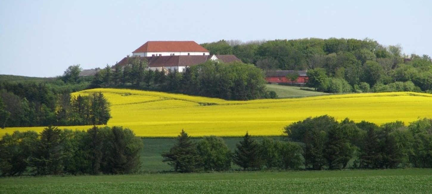
From the sea and up into the hills, and down again through lush meadows. From Lønstrup, the Haervej passes Denmark’s highest migrating dune, Rubjerg Knude. At Nr. Lyngby you turn inland and move up to Børglum Monastery.