Cycling Stage Jyske Aas - Hammer Bakker (31 km)
The Haervej trail through South-east Vendsyssel is marked by the conspicuous Jutlandic Ridge with the highest hills in Northern Jutland, higher than anything in Rold Forest.
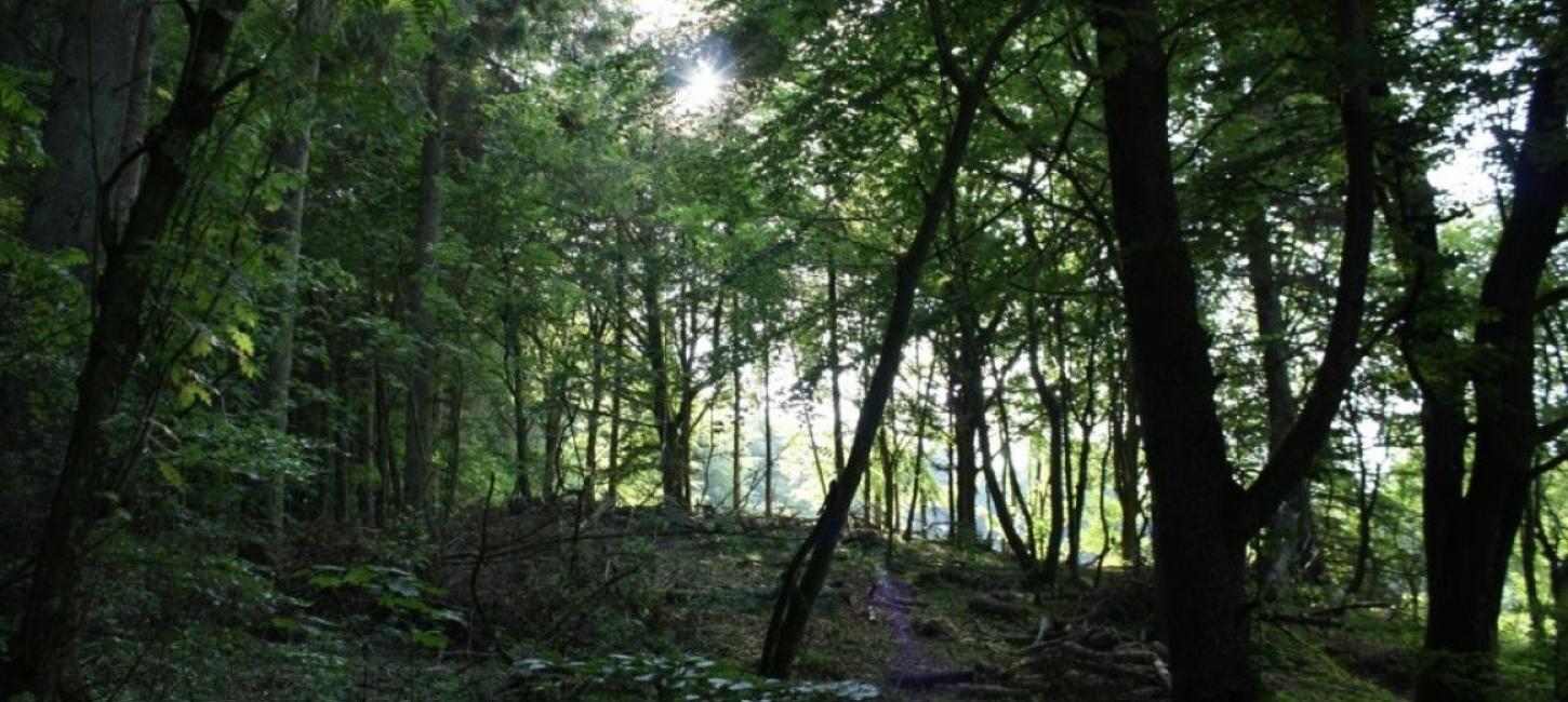
The Haervej trail through South-east Vendsyssel is marked by the conspicuous Jutlandic Ridge with the highest hills in Northern Jutland, higher than anything in Rold Forest. Here the glaciers in the last Ice Age deposited heaps of debris in an end moraine; sand, clay and gravel, in a hilly area along the melting edges of the glacier. The trail goes along this partly wooded, hilly highland with a varied nature. To the north east is the broad valley, Voerådal, and to the south are the lowlands, stretching all the way around Nørresundby where the Ice-Age sea has leveled the hills.
Jyske Ås
Where Håndsbækvej enters the ridge and then one kilometer to the west is Brønderslev Municipal Nature School ‘Lunken' . Here you find bathrooms, covered tables and benches and a big shelter camp.
At the top of Fejborg Hill, by the passage, you find info about the area and a long barrow to the north, from where you have a fantastic view to the east. The whole area on both sides of the ridge has an unusual amount of burial mounds. Fejborg Hill prompts you to descend to the east, 5% decline over 600 meters, mentioned in the Biggest Hills in Denmark, to Brønden with a shelter camp and a cheese shop on Fridays, 1.3 kilometers from the hilltop.
There is a sign at the shelter camp Slettingen, which has running water and a soil toilet. The barren hills used to be the haunts of social rejects of the area, living in caves dug into the slopes. The long arm of the law did not stretch that far, and assaults on travelers along the ridge were not uncommon. In 1841, the inhabitants were driven to take the the law into their own hands, so seven ‘good citizens’ convened to fight it out with some lawless, young men in Stagsted Poor House. This resulted in the Stagsted Heath Murders which left four dead before the authorities reacted. A memorial stone is erected on Stagstedhedevej east of the route.
100 meters along Østermarksvej you find a parking lot with information. Follow the red route 300 meter south west to the vantage point at 57o16’8’’N – 10o12’Ø through an enclosure with friendly Iceland horses – and do remember to shut the gate when you leave!
On a clear day you can see Børglum Kloster, and if the sun hits the cliffs, you can also see Rubjerg Knude by the North Sea.
Grevmose Lakes
On the top of the ridge, bogs have formed on top of clay, and after peat-digging, this has become the Grevsmose Lakes.
Further along Bjørnbakvej, from the top of a recently planted and fenced area, you have a view to Voerådalen and all the way to Kattegat between Holtbjerg and Agersted Hills.
The road is in the watershed on top of the Ridge, but on your way down on the north-eastern side of the Ridge you may see some of the brooks that run into Voer Brook. Freeway E3 runs across the Ridge in an old wheel track which the Forest and Nature Agency considered a thoroughfare in the pass when it was established, the only one of its kind in Denmark. Over E3 and the old Ålborg road we find Denmark’s first fauna passage, and it is now used by all animals, deer as well.
The fauna passage ends on the south-eastern slope at Dannerhøj, so named at Frederik VII’s and Countess Danner’s visit in 1852, on which occasion the inhabitants promised to celebrate the Consitution annually, and they have kept that promise so far.
3.7 kilometers north east along Ålborgvej is Flauenskjold with a shop and a ”Hay Hotel" with good facilities for horse and horseman alike, even if the horseman comes by ’steel horse’. The Jutlandic Ridge Trail, Northern Jutland’s first trail project, continues along Stenbakkevej, where there is a shelter camp with water and a soil toilet.
Cross Dorfgade, one of the passages across the Ridge, and the name of which goes back centuries.
Dorf Møllegård
2 kilometers to the east along the lovely winding and hilly asphalt road you find Dorf Møllegård with both a watermill and a windmill, as well as a coffee lounge and a Museum of Hunting and Fishing in Northern Jutland.
Voergaard Castle
Further 4.5 kilometers to the north east is Voergaard Castle, built by Bishop Stygge Krumpen in the 1520s, and enlarged by Ingeborg Skeel in 1590 with Jutland’s most beautiful and most adorned Renaissance house. Her ladyship’s fantastic 7.5 meters tall epitaph is close to Voer Church. Stygge Krumpen’s last happy days are relived annually in mid-July at the Medieval Days at Voergaard.
From Dorfgade you continue into the highest and most hilly part of the Ridge. The gravel roads here are not suited for racing bikes. If you prefer asphalt, you can go to Dronninglund from Dorf Mill via Storskovvej, which will bring you close to Knøsen, the highest point at 136 meter, and descend at great speed along 1.75 kilometers with a fall of 3.4%.
Sømosen
If you follow the Haervej, you pass close by the west end of Sømosen before you get to Lilleskovvej. For half a century around 1900, Sømosen was the winter quarters of migrant families traveling with their circuses, tivolis, knife-grinding carts and other minor trades. In its heyday, Sømosen had 40 families dwelling here every winter, all of them with scores of children. The family names of Altenburg, Mundeling, Hertzberg and Benneweis doscument that modern circuses have their roots here.
Dronninglund
The route also passes Ottemose on Tusbrovej, the old Nr.Sundby-Sæby royal route, and round Markedsdalen where Hjallerup Market was held up till 1744. Go by Dronninglund Art Center and golf course. The Art Center is one of its kind. Built by a local craftsman who had made a fortune in Greenland, taken over by Tvind, and then repurchased by the locals who run the center with volunteers. There are varying exhibitions, a café with lunches and an art shop.
Dronninglund Castle
On Kirkevej you go toward Dronninglund Castle. Today, it is a hotel and a restaurant etc., but formerly it was Hundslund Monastery from 1200 to 1536, manor and summer residence of the queen and the princess. Its present look is owing to the efforts of Count Moltke’s renovation in 1754. The former monastery church has fine frescos from the days of Stygge Krumpen, among which is a frieze with three heathen, three Jewish and three Christian heroes and a gallery for lords from 1600 with images of seven half-naked Roman gods (!).
2 kilometers to the east, the town of Dronninglund offers opportunities for eating and shopping. The town was established in the 1890s when a pharmacy attracted a veterinarian, a doctor and a local hospital.
Hjallerup
On the way to Hjallerup you may see eight of the area’s many burial mounds, several of them long barrows, lying close together along Himmerigsvej at Langdyssevej. Galgehøjene and the 90 meter long Pyldbyrsdysse are to the north before you reach the freeway.
In Hjallerup, they have the annual horse and huckster fair in early June. Hjallerup has plenty of shops and a hotel.
The trail continues to Hammer Hills along the old Sæby-Sundby Highway that served as a main thoroughfare or royal route for ages. In Princess Sofie Hedvig’s time, the road across the wet meadows were covered twice a year with rice strewn across the wheel tracks to prevent the carriages from sinking into the mire. The old road continues along the field track and Kongsvænget toward Hammer Hills.